TRAFFIC/TRANSIT TODAY: Tuesday watch, 6th week of West Seattle Bridge closure

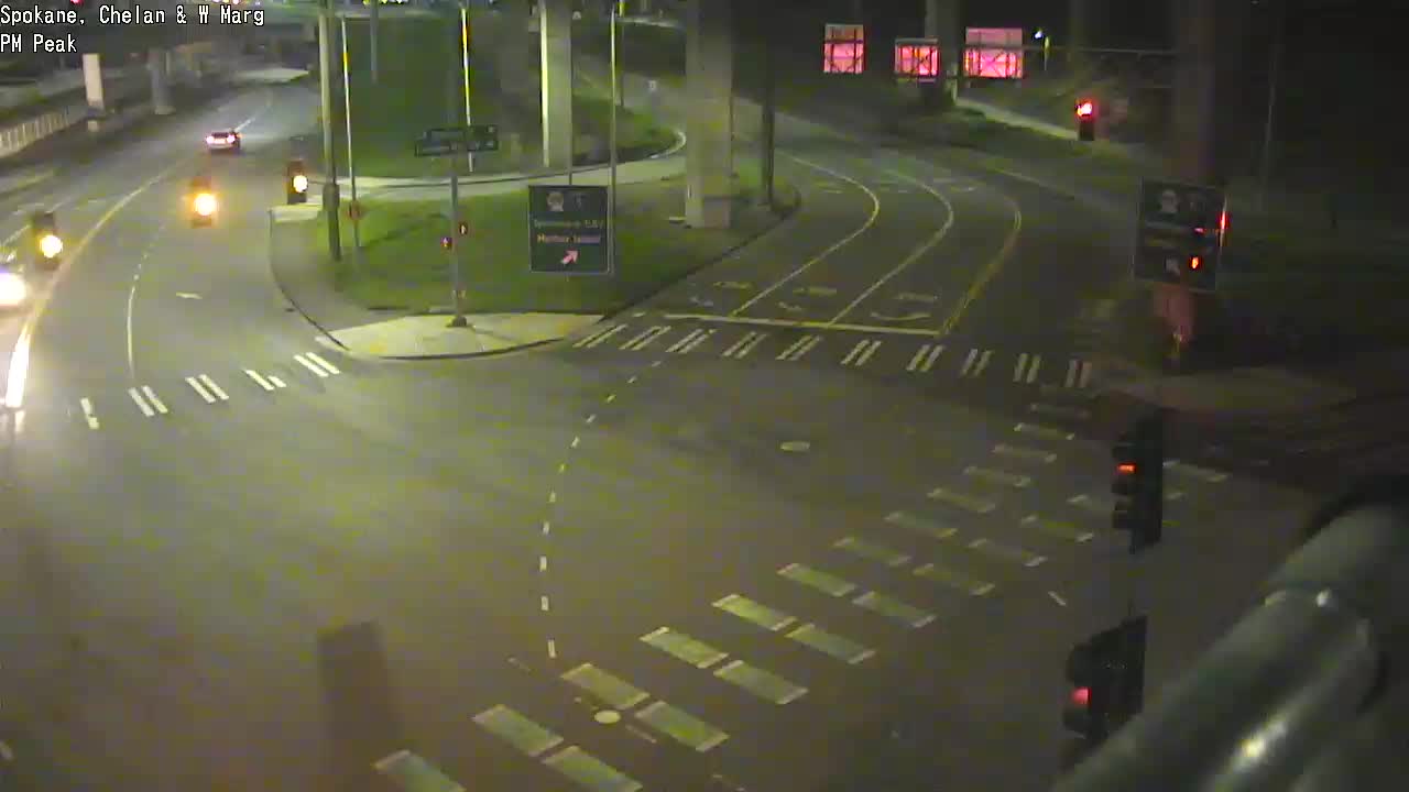
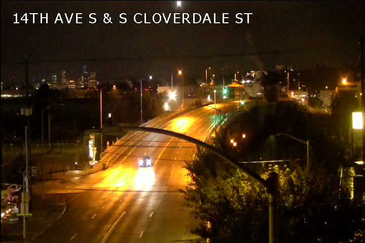
5:53 AM: 36th morning without the high-rise West Seattle Bridge. Here are the cameras for the restricted-access low bridge and the 5-way intersection west of it (just repaved):

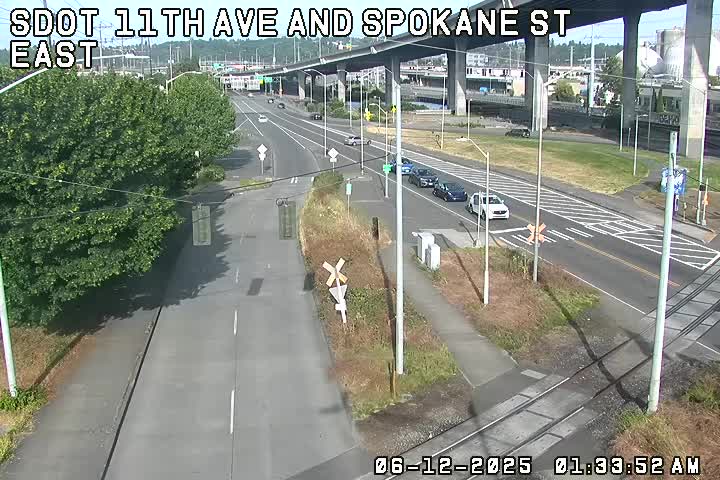
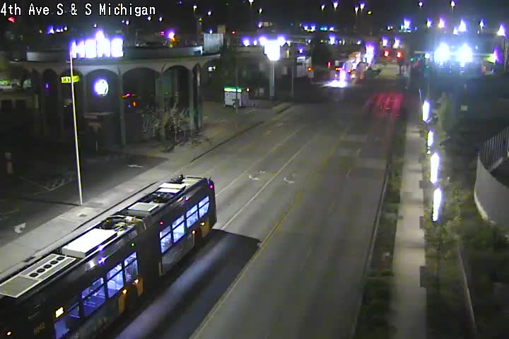
For general traffic, the main route across the Duwamish River is the 1st Avenue South Bridge (map). To get to I-5, exit at Michigan. Here are cameras for the bridge and Michigan east of it:

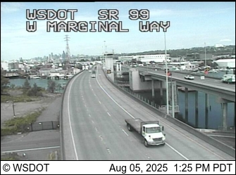
You can also cross the Duwamish River via the South Park Bridge (map), which puts you on East Marginal Way about a mile south of where the other bridge does. Here’s the South Park camera:

Check the @SDOTBridges Twitter feed to see if a bridge is opening for marine traffic.

TRANSIT ALERTS: Metro’s reduced schedule is in effect – details here. Also, bus capacity is now restricted … The Water Taxi continues its reduced (and shuttle-less) schedule.

OTHER LINKS

SDOT’s traffic map, with cameras
Our traffic-cams page

Let us know what you’re seeing – comment, or text (not if you’re at the wheel!) 206-293-6302.

29 Replies to "TRAFFIC/TRANSIT TODAY: Tuesday watch, 6th week of West Seattle Bridge closure"

  • drM April 28, 2020 (7:01 am)

    If anyone else feels strongly that the lane reduction on West Marginal Way outside the Duwamish Tribal Center is a safety issue, please write to Lisa Herbold, or anyone else you think might be of help. 

    I can also see the issue of safety for the tribe, but in these extraordinary times, I am sure the Tribe will understand that a temporary reversal back to 2 lanes will increase safety rather then decrease it. 

    So far, all my pleas have fallen on deaf ears.

    • AdmiralBridge April 28, 2020 (8:17 am)

      Completely agree and have already expressed that concern.  Crickets.  Will make one anecdotal observation having passed by several times – it seems like the people that park there are more taking advantage of the recreational trail than the Tribal Center (Kayaks and bike carriers galore).   As for the Tribal Center, is this safety or is it parking?  

      • 1994 April 28, 2020 (8:47 pm)

        The longhouse used to have a parking lot behind the structure – maybe for 20 vehicles? Whenever I visited there for an event I always found parking behind the structure and never parked across the street. Isn’t the parking across the street intended for the park there? Maybe SDoT could emergency install one of those yellow flashing lights activated when a crosser pushes a button? Really seems that a compromise needs to be found immediately – as fast as the traffic signal at Highland Park Way.

    • Joe Z April 28, 2020 (8:26 am)

      Not clear why it would be necessary to go to 2 lanes there. It’s not a traffic chokepoint and if you can’t merge from 2 lanes to 1 you probably shouldn’t be driving. 

      • Andrea April 28, 2020 (9:10 am)

        Totally agree

    • rpo April 28, 2020 (8:30 am)

      I don’t see the point considering the bottleneck everyone will get stuck at once you hit the traffic light at highland park. Why get there 5 seconds earlier if it makes zero difference in the overall trip time? Also, wouldn’t allowing traffic in the right lane be a safety issue for the tribe hence why it’s there the begin with?

    • WSJ April 28, 2020 (10:01 am)

      Can you explain why you feel so strongly that it’s safer to be two lanes? No ends of W marginal end in a single lane at the lights, so I can’t think of any reason why expanding for a while in the middle is anything other than a false sense of “more is better” when it comes to lanes. 

    • Jon Wright April 28, 2020 (10:36 am)

      “I can also see the issue of safety for the tribe” but my preference not to have to merge is more important.

    • BBILL April 28, 2020 (12:52 pm)

      There is absolutely no need for 2 lanes of travel there. Let’s start with the fact that southbound W Marginal is a single lane less than a mile before, and there are no collector streets in that mile. Even if there were 2 lanes back to the 5-way intersection, which could be easily accomplished with a realignment by reducing the number of northbound lanes at the choke point from 2 to 1, there are other choke points before the 5-way intersection, such as only 1 lane of travel from Delridge, only 1 lane of travel on Spokane (to get under the empty bridge). These two choke points are not going to be ‘easy’ to solve, as drivers already have great difficulty navigating the 5-way intersection. Also there may be a slowdown where the lane reduction is at the Longhouse, but that slowdown won’t change the total travel time for many travelers, and for the ones whose destination is just south of the lane reduction, a W Marginal Way destination, the added travel time will be minimal.

      • drM April 28, 2020 (2:23 pm)

        Everything you say is correct in theory. You do go from 1 to 2 lanes after the big 5 way intersection, and of course at the Highland intersection there is by it’s nature a re-arrangement of traffic, as is the big intersection at Delridge.But, the tribal lane reduction suddenly goes down to one lane, then opens up again. By the time you reach there, traffic has spread out over 2 lanes. There are cars going fast, cars going slow, There are trucks etc etc etc. And, we are not even beyond lockdown. You clearly have not been cut off at that point. And, despite what you say, I predict there will be a few nasty accidents at that point, which certainly will not speed things up. This is so obvious to me, but maybe I’m just relying on my own experience,, and not theoretical considerations.

        • BBILL April 28, 2020 (5:44 pm)

          Maybe the lane should be reduced from just east of the 5-way all the way until a little past Longhouse, and then that would eliminate the need for a second merge.

          • drM April 28, 2020 (8:34 pm)

            To BBill… I clearly am unable to convince you with logic.
            So, this will be my last word.For the life of me, I cannot understand why, when we are trying to move many more cars to the city (normally up to 100,000 cars per day), and understanding that many of us have made many other reasonable requests, you would want to decrease road capacity. 

        • BBILL April 28, 2020 (9:35 pm)

          In the State of Washington, the Legislature has decided that, I hope you’re able to stay with me here, *pedestrians* have the right-of-way at intersections (RCW 46.61.235). If you want to get the law changed, get the right-of-way for the entire state reassigned, then I might agree to your idea that pedestrians should be ignored. Unless and until that happens, the second merge should be considered what’s necessary for the safety of pedestrians, even if, in your personal view, that makes it less safe for drivers. Alternatively, if the second merge is so egregious, then reduce the entire stretch to one lane. As soon as the pedestrian safety problem was recognized, it’s very difficult to say, “Well, yeah, you pedestrians do have the right-of-way, but we don’t care.” See also: Marine traffic has the right-of-way, so the Duwamish will not be closed to marine traffic “for the convenience of 100,000 highway drivers.”

  • anonyme April 28, 2020 (7:13 am)

    The 21X is running through Arbor Heights AGAIN.  This was identified last week as an “error”.  Metro, get your act together.

  • heyalki April 28, 2020 (8:02 am)

    As it’s much easier to drink whenever these days…here’s just a friendly reminder to everyone, during these tough times, to not drink and drive.  

  • Tim April 28, 2020 (12:23 pm)

    I’ve had to pull out of the center a few times and it’s not fun. On a turn with low visibility.  People  speed on this road. 

    • BBILL April 28, 2020 (12:53 pm)

      My prediction is that speeding on that stretch won’t be a problem in the near future.

  • West Seattle Coug April 28, 2020 (12:45 pm)

    WSB (aka Tracy), can you pose a question to SDOT for me/us? Looking at the camera showing the three lanes coming off the lower bridge, I want to assume the rightmost lane is going to Delridge, the middle to the single lane westbound and the left lane goes straight through to the Terminal? The reason I ask is because I’m seeing a lot of folks in that left lane veering into the westbound lane…with potential for fender benders with folks from the middle lane. 

    • BBILL April 28, 2020 (1:23 pm)

      You have your left and right backward, in that the left lane is left turn to Delridge, the center lane is to Chelan (westbound), and the right lane is Chelan (northbound). If I were the traffic engineer, I would have reduced Spokane Street from 3 to 2 lanes, and then the right lane would be to Chelan (either direction) and the left lane would be to Delridge. Since most drivers won’t be driving that stretch for many months, probably years, it only impacts professional drivers.

      • WSB April 28, 2020 (1:38 pm)

        I believe WSC was referring to the way it appears on the SDOT camera, where the left lane is at screen right, etc.
        Otherwise, I have no info beyond the channelization description in the original announcement of last weekend’s work.

  • Roxhill Resident April 28, 2020 (3:55 pm)

    Anyone know when Roxbury became 25 mph? I swear it was 30/35mph. 

  • KBear April 28, 2020 (6:19 pm)

    When someone calls a safety improvement a “tribal lane reduction”, it sounds kinda racist. Just sayin’.  

    • KM April 28, 2020 (8:03 pm)

      This + varied language around “taking back” the roadway/property/land is some of the worst stuff I’ve seen here recently.

      • miws April 28, 2020 (8:51 pm)

        I was particularly struck by “I am sure the Tribe will understand that a temporary…”.  I had this flash of thought imagining what it must’ve been like around here 150 or so years ago. —Mike

Sorry, comment time is over.