 (WSB photo, April 2019)
By Tracy Record
West Seattle Blog editor
Call it Roxhill Bog, Roxhill Fen, Roxhill Wetland. Whatever you call it, it needs to be rescued, and the time is now.
Community advocates have sounded that alarm for many years. Now, it appears the wetland’s plight has the traction for something serous to finally get done.
That was the message at the “stakeholders’ meeting” that filled a room at Southwest Teen Life Center in Westwood last Tuesday night. The sign-in sheets showed a long list of organizations concerned with the health of the local environment.
“The bog is dry.” Opening the meeting, that’s how Rory Denovan – a West Seattleite who has long been involved wth the effort to help the bog – summarized the primary problem.
If that leads you to wonder “so what?” Denovan had answers for that right off the top. Three reasons why Roxhill is important:
-It’s peat land
-It’s Longfellow Creek‘s headwaters wetland
-It’s a community asset
As peat land – “probably more a sedge fen than a bog” – Denovan said it’s a “giant carbon sink,” he explained, saying scientists believe that 10 feet of peat can store 10 times what a forest above it can store.
As headwaters, it has a vital role to play in the health of what’s downstream, both Longfellow Creek and the Duwamish River. Headwaters can retain stormwater to reduce flooding downstream, and in the hottest, driest months of the year, they can help keep the system cool.
As a community asset, it’s a “gem” in Roxhill Park, a place kids and their families can go to observe and learn about nature, a place that’s been used by schools from elementaries to South Seattle College (WSB sponsor), a place where the Audubon Society has done bird counts as it’s “one of the most diverse bird (areas) in West Seattle.”
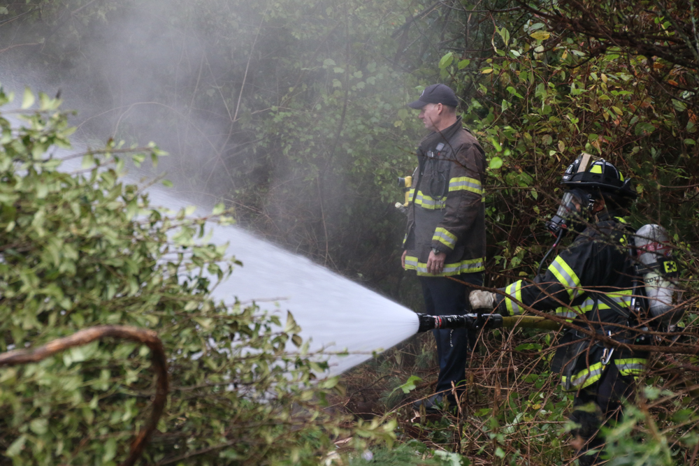
But it’s dry. And that’s a threat, not just to the above attributes, but to the peat itself. Denovan recalled the 2017 fire, saying SFD “had to call Scotland” for advce on how to fight it.
 (WSB photo, October 2017)
Another threat to the bog: Drinking and drug use in the park. Denovan showed a photo of syringes in what he said was an area that should have been underwater, “and if it had standing water, this would not be happening in the bog.”
A little history: In the 1930s, farming and some peat mining was happening in the area; the peat land stretched beyond the park’s current boundaries. Some of it was capped when Westwood Village (across the street to the north) was built; some of it was capped when the road was built; some of it was filled when the park site was donated: “We didn’t know better at the time.” Awareness of its importance started rising in the 1990s, and there was restoration work. But then around 2006, “the water went away.”
How to bring it back is what’s being determined now. “We have an opportunity to solve this problem”… but “we have to do it now” because it’s “degrading rapidly.”
Two local elected officials who have worked to support the new efforts, City Councilmember Lisa Herbold and County Councilmember Joe McDermott, were introduced. Herbold detailed some of the work she had done since taking office to support those who had long been seeking a solution (she wrote about it in her online newsletter last Friday). McDermott helped secure a county grant that’s paying for much of what’s being done now. He spoke about literally a high-level view of the situation – flying out of the area and observing from above that there “are no boundaries” – it’s all connected.
A regional representative of the national organization American Rivers, Brandon Parsons, spoke too, calling this “a tremendous opportunity to impact the people as well as the environment” all along Longfellow Creek. A place like this “doesn’t exist everywhere – (it) could be a showcase of what could happen.” But he vowed “this is real – we’re going to take real action on this.”
Then – a closer look at what’s happening, via wetland hydrologist Steve Winter of Natural Systems Design. Here’s his slide deck (PDF), as also shown below:
Roxhill Wetland slide deck by WestSeattleBlog on Scribd
Winter lives in West Seattle. “Peat is so awesome!” he exclaimed as he began, explaining that wetlands like Roxhill Bog are rare in our state, only a quarter of one percent of the land, and “really incredible.” They trace back to the end of the last Ice Age. He showed photos including a King County image from 1936, a 1961 photo of the Osaki family’s farm in the area, a 1968 sewer buildout on SW Cambridge, a 1969 aerial view of the park, and the 1961 photo we’ve featured multiple times showing digging during road-building. Seattle Public Utilities has taken oral histories of the area, Winter said, also showing a newspaper ad from 1950 for “humus,” reminding attendees that peat was seen as a “resource” too.
After the history, he discussed what they’re studying – the current groundwater presence (“much less water coming nto the area than used to,” 17 acres feeding the area compared to 98 acres at one point in the past). In May 2005, water was seen in three “cells” in the area, but something happened after that, and now the peat is deteriorating for lack of water.
Studies did not reveal a “smoking gun” regarding what’s caused that, Winter said, but instead, there are several factors: Increased evaporation, increased “lateral flow,” low level of graundwater. In short, they need to figure out how to get more stormwater to the bog, and tt’s “going to involve some digging, I’m afraid,” he added. The water would be treated before feeding it into the bog, rather than just sending in contaminated runoff.
How much time will the next phase take? A few months. Then they’ll have strategies for what needs to be done to get the water going where it needs to go to save the wetland. One attendee suggested a vegetation change might be in order, too.
“We need to get the water in there and it’ll be OK,” Winter reiterated, while cautioning that it won’t be “exactly what it was.”
One attendee expressed concern that developing a plan and executing it will take years, while the peat is at risk now. Can anything be done in the short run? A temporary irrigation system? Capping part of the area? Winter agreed that some short-term protection might be a good idea.
What about engaging with SPU? asked Willard Brown, who has been working on another wetland-restoration project in Delridge, with DNDA. They’re already engaged, Winter replied, pointing to “at least three” SPU employees on hand. One of them noted, “We’re looking at creating the financial & policy tools to be able to allow the stormwater coming off Cambridge … if we can route water into the bog, we can (help the systems)… we’re optimistic we’ll be able to make it happen.”
What opportunities will there be for residents to get involved? Many, suggested Winter, saying they’re just starting to “get the message out.” Community events are expected to start in late summer.
| 15 COMMENTS