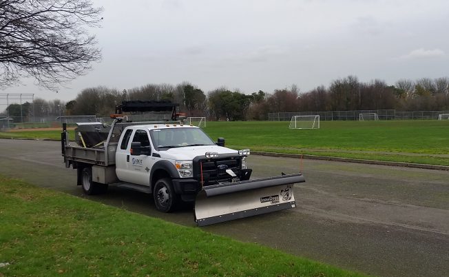
Thanks to Alan for the photo – an SDOT snowplow-equipped vehicle by Riverview Playfield today. Rehearsing, perhaps? The afternoon “forecast discussion” is out and the National Weather Service is talking a little more about possible snow:
There has been very good agreement in the models that it will be about as cold as it gets aloft Sunday and Monday in an upper trough. That means at 500mb, where nobody lives, it will be -38c. But at the surface, that means that as showers move through the area, the snow level will fall to near sea level. Looking at 850mb — at first wet snow showers would probably only stick to the grass, but as you get out into Monday and Tuesday as colder air comes down the Fraser — then colder weather and a hard freeze become likely. Of course it often happens that the moisture is gone by the time the coldest air arrives. For now the forecast is light on details and light on snowfall. By the time you get out to Wednesday, the GFS suggests an overrunning snowfall that turns to rain later in the day, but the Euro is slower–holding that off til Thursday.
Bottom line, too soon to say, but snow is a distinct possibility. So this is the perfect time for getting familiarized with SDOT wintry-weather resources – all collected in this recent post. Metro‘s snow/ice info is here. (If and when wintry weather arrives, of course, we’ll deploy those resources in our 24/7 coverage too.)


| 5 COMMENTS