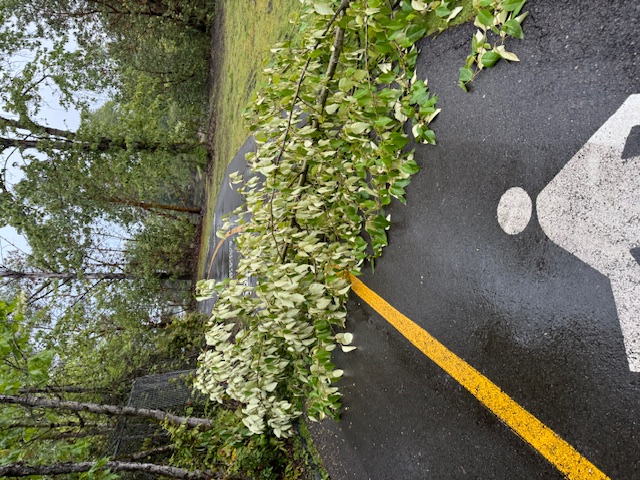
 (Images from meeting presentation – above, Roxhill Park and Bog)
By Tracy Record
West Seattle Blog editor
Imagine you want to take a bath – but not only can you not draw enough water to fill the tub, the water you do get keeps draining out.
That’s the problem with Roxhill Bog, experts and advocates believe, and as unveiled at this week’s community meeting, they have a plan that might fix it.
“Might” is the important word here – so they’re going to try an experiment on part of the endangered wetland, which is all that’s left of a 10,000-year-old peat bog that once stretched far beyond the remnant that exists – dry as it is – mostly on the south side of city-owned Roxhill Park.
Wednesday night’s meeting had many of the same participants who gathered more than a year and a half ago – just before the pandemic shut down in-person meetings – to accelerate the effort to keep the bog from being lost forever.
This time, interested and/or involved parties gathered online to talk and hear about what’s been learned and what happens next.
Sharon Leishman of the Duwamish Alive! Coalition opened the meeting and noted the area’s role as the historic headwaters of Longfellow Creek, which she said is having an “amazing year” of coho-salmon returns.
The bog’s place in the Duwamish River ecosystem was then described in detail by Brandon Parsons of American Rivers. “It’s not just about the bog, it’s about the entire watershed” – which ranges across more than 2,600 acres, second-largest watershed feeding the Duwamish. He also recapped his organization’s involvement since 2019, in response to a community call for help. The importance of longrunning community involvement was then underscored by West Seattle/South Park City Councilmember Lisa Herbold, who has been championing the restoration effort.
The heart of the presentation came from Steve Winter of Natural System Design. He explained what they’ve learned about how water moves through the site – some does come in, and you could see that during the recent heavy rains.

But the water doesn’t remain above ground for long. They used wells to check water levels and found it three feet or further below the surface – where it needs to be at the surface year-round to support a true wetland. So to fix it, they have to “significantly reduce the outflow.” Just bringing in more water wouldn’t work, Winter said, without reducing the outflow. They must “repair the bathtub to retain water.”
They believe that can be done by digging and filling a narrow trench to act as a barrier, and they want to test it on one of the bog’s “cells” to see if it works.

It’s experimental and incremental, Winter emphasized, a “pilot project.”

They’re still figuring out what materials would be best for the barrier – something with “very low permeability.” The goal isn’t to trap the water, just to keep it in the bog for longer. “Plug the leak, as it were.” If it works, then they can expand it to other parts of the bog.

But fixing the bathtub’s drainage function isn’t the entirety of the solution. Brenda Gardner of Seattle Public Utilities explained where her department comes in – to “fix the plumbing.” SPU studied ways to reroute water into the bog area. Big challenge, though – the water would have to be treated to some degree, because of runoff’s toxicity. That could be done through swales/bioretention, or through a centralized facility/area.

So why go to all this effort? Landscape architect Danielle Devier of Natural System Design explained that rehydrating the bog will help the park and the surrounding area. She said that 85 percent of those who responded to a survey last year said that local natural areas are “very important” to them. In this one, it’s not just a matter of the peat bog at risk – other features of the park are in jeopardy as the peat (which you might recall had a fire in 2017) continues drying out. Trails and benches are sinking.

As also noted in a breakout discussion, some of the current visibility problems and shrubbery overgrowth in the historic bog area of the park have led to safety concerns – but year-round water in those areas will remove that overgrowth and restore sightlines.

The “stretch goal” for this plan is to get the experimental section of barrier built in next year’s “dry season.” If it can’t be done in time, then the construction would slide to 2023. They’ll continue studying the area in the meantime to ensure they have as much data as possible. As for funding, they have $300,000 in grants received so far, and are aiming for more. Leishman tells WSB that costs are covered for “100% design of the pilot project, including the groundwater block, educational signage, and possibly some construction costs, depending on what construction costs are at the time when it goes out to bid. We are continuing to raise funds to increase the likelihood of construction by 2023.”
P.S. You can see the full slide deck from the meeting (the images used above are just part of it) by going here.
 That is my take, but sounds like David and Oldtimer might have some insights from that time, as wellThanks again,Steve Winter
| 9 COMMENTS