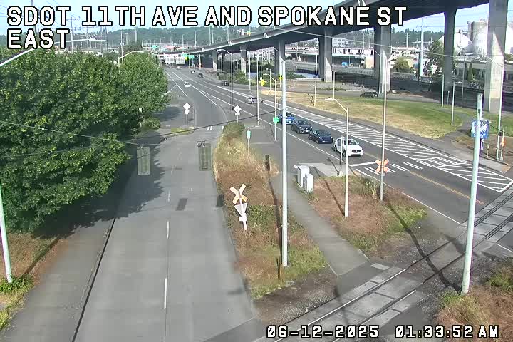

(SDOT MAP with travel times/video links; is the ‘low bridge’ closed? LOOK HERE)
6:03 AM: Good morning. The Seattle City Light map shows most West Seattleites affected by outages have their power back – but not all; a pocket of 400+ customers is shown as still out in the Delridge area just north of Orchard/Sylvan, and there are still smaller pockets elsewhere. Please let us know, when you can do so safely, if you see a stoplight that’s not working or a tree/pole/etc. still blocking a road or path. First report in is from Al, who says a streetlight’s downed on the Harbor Avenue trail across from 7-11.

And of course any major hazard should be reported to authorities first if you’re not sure they know – 911 before business hours, then 206-684-ROAD for SDOT.
6:42 AM: Scanner confirms what the outage map suggests – the signal at Roxbury/Olson/4th is still out, so plan on extra time getting through that area (and stop all ways when signals aren’t working).
7:15 AM: Per e-mail, on 36th SW between Andover and Dakota, the downed streetlight shown in last night’s coverage is still down across the sidewalk. … On 41st SW between Manning and Hinds, a tree is still down across the street, Terri tells us this morning.
8:18 AM: Still incident-free. As for the outages, City Light warns that as it takes on the smaller outages – which is what’s left in West Seattle, between 1 and 411 customers – its pace of repairs will slow (160+ outages remain citywide, affecting 6,300+ customers).
| 9 COMMENTS